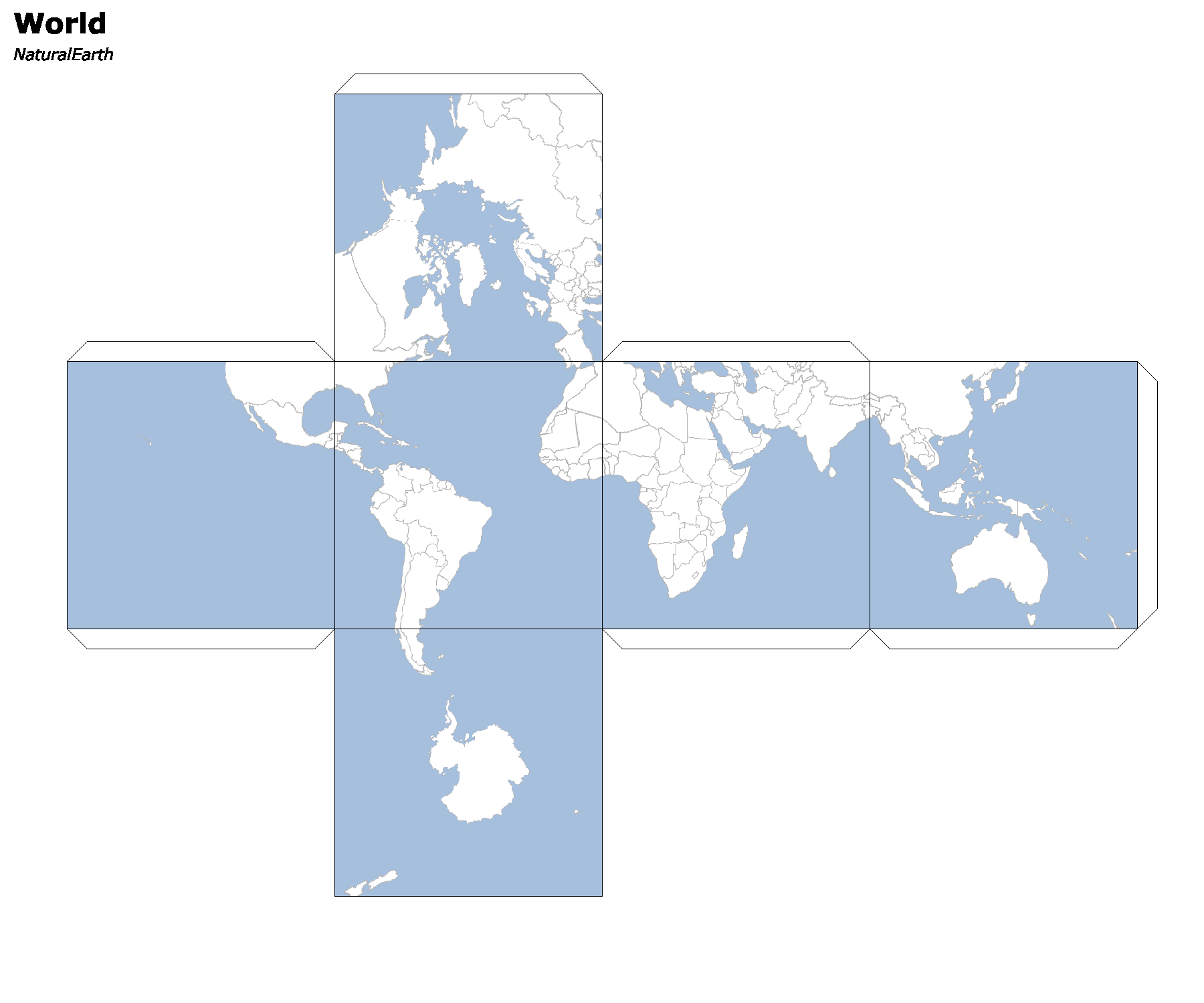
GeoShell Map Cubes
I recently posted about creating paper craft map cubes using GeoScript Groovy and geoc CLI. This time, let’s use the GeoShell.
GeoShell is an interactive shell for geospatial analysis. It supports vector, raster, and tile datasets and includes a map module.
First, lets download geo-shell from https://github.com/jericks/geo-shell and put the bin directory on our path. Then start the interactive shell:
geo-shell
Next download the unzip some Natural Earth data.
download --url https://www.naturalearthdata.com/http//www.naturalearthdata.com/download/110m/cultural/ne_110m_admin_0_countries.zip --file countries.zip --overwrite false

unzip --file countries.zip --directory countries

download --url https://www.naturalearthdata.com/http//www.naturalearthdata.com/download/110m/physical/ne_110m_ocean.zip --file ocean.zip --overwrite false

unzip --file ocean.zip --directory ocean
With the data downloaded, open a workspace and layer for the countries and ocean shapefile.
workspace open --name countries --params countries/ne_110m_admin_0_countries.shp

layer open --workspace countries --layer ne_110m_admin_0_countries

workspace open --name ocean --params ocean/ne_110m_ocean.shp

layer open --workspace ocean --layer ne_110m_ocean
Then create SLD styles and connect them to the layers we opened earlier.
style create --params "fill=#ffffff fill-opacity=1.0 stroke=#b2b2b2 stroke-width=0.5" --file countries.sld

style create --params "fill=#a5bfdd fill-opacity=1.0" --file ocean.sld

layer style set --name countries:ne_110m_admin_0_countries --style countries.sld

layer style set --name ocean:ne_110m_ocean --style ocean.sld
Finally, let’s create a map, add layers, and generate the map cube.
map open --name world

map add layer --name world --layer ocean:ne_110m_ocean

map add layer --name world --layer countries:ne_110m_admin_0_countries

map cube --name world --draw-tabs true --draw-outline true --title World --source "Natural Earth"

map close --name world

open --file image.png
